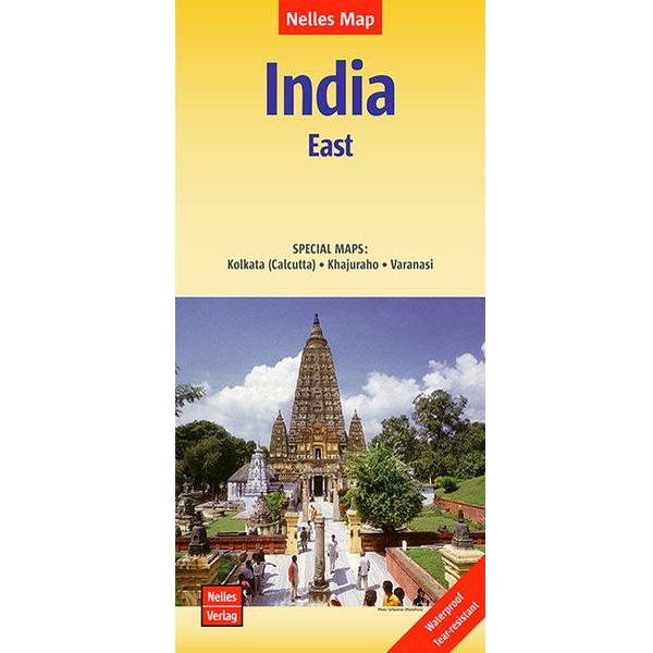
Nelles India Oost
India East !
Niet uit voorraad leverbaar
€ 11,95
-
Lang leve de specialist
Alles wat wij doen en verkopen is fietsvakantie-gerelateerd.
-
Fietsen maakt het hoofd leeg en het hart open
Even niet presteren. Beginnen, en de rest komt vanzelf op je af.
-
Eenvoudig gelukkig is gelukkig eenvoudig
Misschien wel de grootste rijkdom van een fietsvakantie.
Productomschrijving
Productomschrijving
Nelles India Oost
Voor bestemmingen buiten Europa zijn de Nelles kaarten doorgaans prima om mee te fietsen. Ze geven een zeer plastisch landschapsbeeld door aanwezige reliëftekening en kleurgebruik. Ook afstandsaanduiding is aanwezig. Tevens vaak inzetten van stadsplattegronden en veel toeristische info.
Detailkaart: Kolkata (Calcutta) en Varanasi
One of five maps in a series covering India at 1:1 500 000 scale. Folded road and tourist map of eastern India, including Nepal and southern Tibet to the north, Calcutta to the east, Visakhapatnam to the south, and Kanpur and Jabalpur on the western edge of map. Points of interest, national parks and railways are all highlighted and shaded-relief colouring clearly depicts the topography.
The map includes insets showing regional Kolkata (Calcutta) at 1:300 000 and a locator map. The legend is in English, French and German. The other titles in the series are India North, India North East, India South, and India West. Nelles also produces a map of the whole Indian Subcontinent at a scale of 1:4 500 000.
For over 20 years Nelles maps have been renowned throughout the world for their quality, faithfulness to detail and up-to-dateness.
So that streets, ferry links, railway lines, etc are always up to date, Nelles are continuously upgrading their maps - with the help of their international team of correspondents. Roads are provided with an exact kilometerage. Sights are highlighted extra clearly so that you don't miss any tourist attractions.
A good map must be hard-wearing and allow itself to be folded up simply and quickly. Nelles Maps are a handy pocket size with the reliable, practical concertina fold. In addition they use an extra high-quality speciality paper resulting in considerably increased fold strength.
Hoofdkenmerken op een rij
| Schaal | 1:1.500.000 |
|---|---|
| Taal | Engels/Duits |
| Uitgever | Nelles |
| Artikelnummer | 368320 |
| EAN / ISBN | 9783865742759 |
Reviews
Schrijf uw eigen review