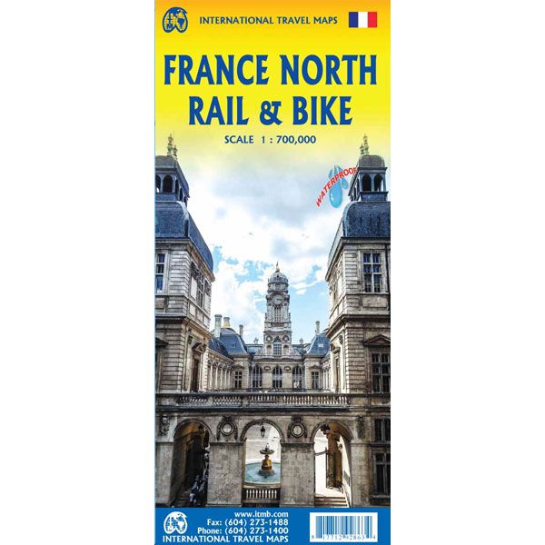
ITM France North Rail & Bike
ITM France North Rail & Bike
-
Lang leve de specialist
Alles wat wij doen en verkopen is fietsvakantie-gerelateerd.
-
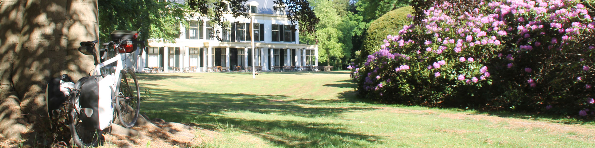
Fietsen maakt het hoofd leeg en het hart open
Even niet presteren. Beginnen, en de rest komt vanzelf op je af.
-
Eenvoudig gelukkig is gelukkig eenvoudig
Misschien wel de grootste rijkdom van een fietsvakantie.
Productomschrijving
Video Product
Productomschrijving
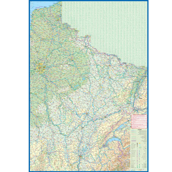
ITM Noord-Frankrijk - Rail & Bike - 1:700.000
Voor wie naar Noord-Frankrijk gaat en graag een overzicht van de fietsroutes heeft is dit een fijne overzichtskaart. Gebruik hem vooral om een idee te krijgen van waar je heen wilt. Om ter plekke te navigeren is de schaal van deze kaart te grof.
Over de kaart van Noord-Frankrijk - Rail & Bike
The northern half of France is fairly flat, making it an ideal area for biking. However, it is also a rather large area, covering several provinces of France, so we have combined rail access with biking. All the motorways and main highways are also shown, so this map is ideal for someone wanting to drive to, say, Brittany, and bike during their stay in the Breton peninsula. Side 1 covers Normandy, Brittany, the Loire, and the Poitou region west of Paris. Side 2 covers all of northern France from Calais to Strasbourg and south to Lyon. Small adjacent portions of Switzerland and Italy are included. A Top 9 Attractions list is included. France South was published a little while ago, so the entire country is now available in detail. The map is printed on waterproof stone paper for durability. Legend Includes: Roads by classification, Rivers and Lakes, National Park, Airports, Points of Interests, Highways, Main Roads, Zoos, Fishing, and much more...
Hoofdkenmerken op een rij
| Schaal | 1:700.000 |
|---|---|
| Taal | Engels |
| Uitgever | itm |
| Jaar van uitgave | 2020 |
| Artikelnummer | 790909 |
| EAN / ISBN | 9781771292863 |